Sherwood Drive, Haywards Heath
Introduction
The photograph on this page of Sherwood Drive, Haywards Heath by Simon Carey as part of the Geograph project.
The Geograph project started in 2005 with the aim of publishing, organising and preserving representative images for every square kilometre of Great Britain, Ireland and the Isle of Man.

There are currently over 7.5m images from over 14,400 individuals and you can help contribute to the project by visiting https://www.geograph.org.uk
Sherwood Drive, Haywards Heath
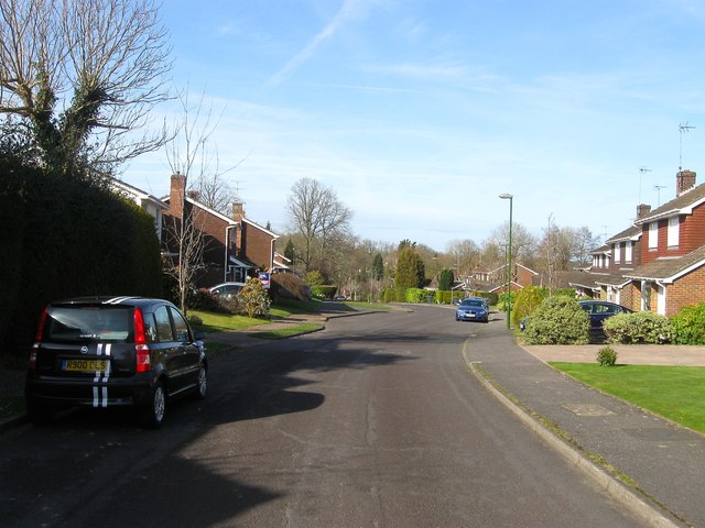
Image: © Simon Carey Taken: 12 Apr 2015
A cul de sac built in the mid 1970s off Lincoln Wood in the southern part of a former wood that had been a field called The Wrenery on Cuckfield's 1843 tithe map.
Images are licensed for reuse under creativecommons.org/licenses/by-sa/2.0
Image Location
Latitude
51.002641
Longitude
-0.117388