The Droveway, Haywards Heath
Introduction
The photograph on this page of The Droveway, Haywards Heath by Simon Carey as part of the Geograph project.
The Geograph project started in 2005 with the aim of publishing, organising and preserving representative images for every square kilometre of Great Britain, Ireland and the Isle of Man.

There are currently over 7.5m images from over 14,400 individuals and you can help contribute to the project by visiting https://www.geograph.org.uk
The Droveway, Haywards Heath
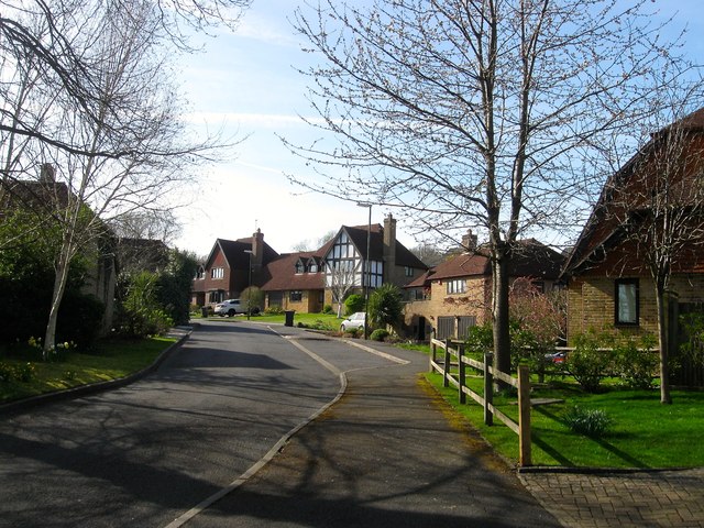
Image: © Simon Carey Taken: 12 Apr 2015
A cul de sac off Lucastes Lane which was built in the grounds of a house called The Droveway sometime during the 1980s. The house itself occupies a former field called Pit Field according to Cuckfield's 1843 tithe map with the titular pit becoming a large pond which can still be found in the grounds of the house on the right.
Images are licensed for reuse under creativecommons.org/licenses/by-sa/2.0
Image Location
Latitude
51.006153
Longitude
-0.117674