Site of former St Mark's Church, Walworth
Introduction
The photograph on this page of Site of former St Mark's Church, Walworth by Stephen Craven as part of the Geograph project.
The Geograph project started in 2005 with the aim of publishing, organising and preserving representative images for every square kilometre of Great Britain, Ireland and the Isle of Man.

There are currently over 7.5m images from over 14,400 individuals and you can help contribute to the project by visiting https://www.geograph.org.uk
Site of former St Mark's Church, Walworth
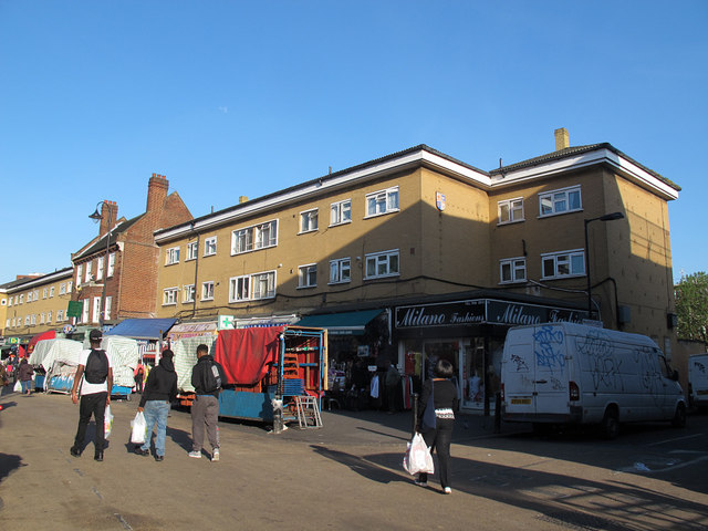
Image: © Stephen Craven Taken: 14 Apr 2015
St Mark's church (Church of England) stood on this site from c.1867 until 1956. It was probably damaged in World War 2 as the last registers are from 1945. The tower survived until c. 1980 but has since been demolished. This housing block (with shops on the ground floor) now occupies the site. East Street has a street market most days; the stalls were being dismantled at the end of the day's trading.
Images are licensed for reuse under creativecommons.org/licenses/by-sa/2.0
Image Location
Latitude
51.4878
Longitude
-0.094591