Newcastle-under-Lyme: Queen Elizabeth Park
Introduction
The photograph on this page of Newcastle-under-Lyme: Queen Elizabeth Park by Jonathan Hutchins as part of the Geograph project.
The Geograph project started in 2005 with the aim of publishing, organising and preserving representative images for every square kilometre of Great Britain, Ireland and the Isle of Man.

There are currently over 7.5m images from over 14,400 individuals and you can help contribute to the project by visiting https://www.geograph.org.uk
Newcastle-under-Lyme: Queen Elizabeth Park
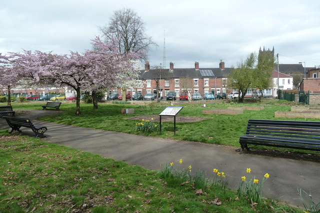
Image: © Jonathan Hutchins Taken: 15 Apr 2015
The Corporation acquired this site in the 1930s, and in 1939 decided to convert it into a public park. War delayed the completion of this work, and it was formally opened in 1944. The area on the far side of the path is now a community food garden.
Images are licensed for reuse under creativecommons.org/licenses/by-sa/2.0
Image Location
Latitude
53.009733
Longitude
-2.231712