Kiln Field (2)
Introduction
The photograph on this page of Kiln Field (2) by Simon Carey as part of the Geograph project.
The Geograph project started in 2005 with the aim of publishing, organising and preserving representative images for every square kilometre of Great Britain, Ireland and the Isle of Man.

There are currently over 7.5m images from over 14,400 individuals and you can help contribute to the project by visiting https://www.geograph.org.uk
Kiln Field (2)
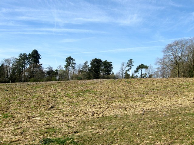
Image: © Simon Carey Taken: 12 Apr 2015
The north eastern part of Image which will soon be lost to the development of Penland Farm housing estate. Part of the field was lost in the 1960s with the construction of Penland Road and The Spinney. See also Image
Images are licensed for reuse under creativecommons.org/licenses/by-sa/2.0
Image Location
Latitude
51.014528
Longitude
-0.112772