Public footpath at Whirlow
Introduction
The photograph on this page of Public footpath at Whirlow by Nick Morris as part of the Geograph project.
The Geograph project started in 2005 with the aim of publishing, organising and preserving representative images for every square kilometre of Great Britain, Ireland and the Isle of Man.

There are currently over 7.5m images from over 14,400 individuals and you can help contribute to the project by visiting https://www.geograph.org.uk
Public footpath at Whirlow
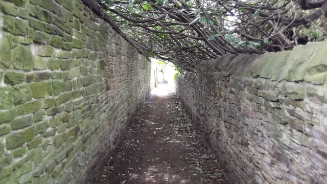
Image: © Nick Morris Taken: 17 Apr 2015
Looking towards Ecclesall Road South. The path connects Ecclesall Road South with Broad Elms Lane
Images are licensed for reuse under creativecommons.org/licenses/by-sa/2.0
Image Location
Latitude
53.341068
Longitude
-1.532508