St Asaph Road
Introduction
The photograph on this page of St Asaph Road by Martin Addison as part of the Geograph project.
The Geograph project started in 2005 with the aim of publishing, organising and preserving representative images for every square kilometre of Great Britain, Ireland and the Isle of Man.

There are currently over 7.5m images from over 14,400 individuals and you can help contribute to the project by visiting https://www.geograph.org.uk
St Asaph Road
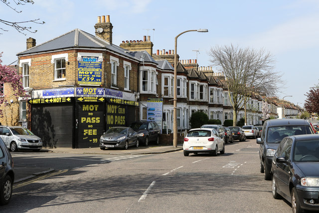
Image: © Martin Addison Taken: 16 Apr 2015
Seen at the junction with Dundalk Road, St Asaph Road is part of a network of suburban streets in a triangle of railway lines between Nunhead and Brockley.
Images are licensed for reuse under creativecommons.org/licenses/by-sa/2.0
Image Location
Latitude
51.464187
Longitude
-0.042307