Bolnore Farm Lane, Haywards Heath
Introduction
The photograph on this page of Bolnore Farm Lane, Haywards Heath by Simon Carey as part of the Geograph project.
The Geograph project started in 2005 with the aim of publishing, organising and preserving representative images for every square kilometre of Great Britain, Ireland and the Isle of Man.

There are currently over 7.5m images from over 14,400 individuals and you can help contribute to the project by visiting https://www.geograph.org.uk
Bolnore Farm Lane, Haywards Heath
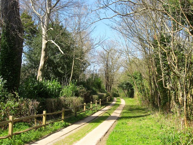
Image: © Simon Carey Taken: 12 Apr 2015
Viewed from the junction with Bolnore Road and looking towards its terminus at Isaac's Lane. The track serves Bolnore Farm and a number of other dwellings and is of some antiquity having been marked on a 1638 estate map and given the name Half Streete Lane.
Images are licensed for reuse under creativecommons.org/licenses/by-sa/2.0
Image Location
Latitude
50.997113
Longitude
-0.12032