Wheats Lane (off North Church Street), Sheffield
Introduction
The photograph on this page of Wheats Lane (off North Church Street), Sheffield by Nick Morris as part of the Geograph project.
The Geograph project started in 2005 with the aim of publishing, organising and preserving representative images for every square kilometre of Great Britain, Ireland and the Isle of Man.

There are currently over 7.5m images from over 14,400 individuals and you can help contribute to the project by visiting https://www.geograph.org.uk
Wheats Lane (off North Church Street), Sheffield
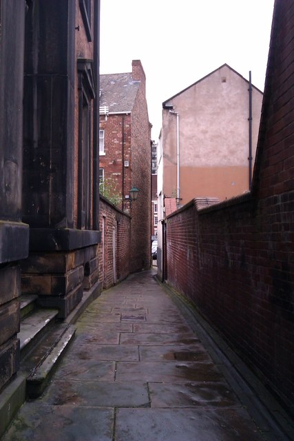
Image: © Nick Morris Taken: 4 Jun 2014
A little lane that isn't named on Google Maps. The Building on the left is a Grade 2 Egypto-Greek style listed building, built circa 1830. The lane leads to Paradise Square which has some of the finest Georgian buildings in Sheffield.
Images are licensed for reuse under creativecommons.org/licenses/by-sa/2.0
Image Location
Latitude
53.384067
Longitude
-1.469404