Flaxley Street, Cinderford
Introduction
The photograph on this page of Flaxley Street, Cinderford by Jaggery as part of the Geograph project.
The Geograph project started in 2005 with the aim of publishing, organising and preserving representative images for every square kilometre of Great Britain, Ireland and the Isle of Man.

There are currently over 7.5m images from over 14,400 individuals and you can help contribute to the project by visiting https://www.geograph.org.uk
Flaxley Street, Cinderford
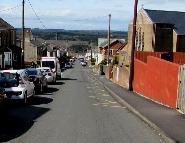
Image: © Jaggery Taken: 12 Apr 2015
The eastern end of the street from the corner of Belle Vue Road. Our Lady of Victories Catholic Church http://www.geograph.org.uk/photo/4425705 is on the right.
Images are licensed for reuse under creativecommons.org/licenses/by-sa/2.0
Image Location


Leaflet Map data © OpenStreetMap
Latitude
51.820067
Longitude
-2.495983