Marlins Turn, Hemel Hempstead
Introduction
The photograph on this page of Marlins Turn, Hemel Hempstead by John Winder as part of the Geograph project.
The Geograph project started in 2005 with the aim of publishing, organising and preserving representative images for every square kilometre of Great Britain, Ireland and the Isle of Man.

There are currently over 7.5m images from over 14,400 individuals and you can help contribute to the project by visiting https://www.geograph.org.uk
Marlins Turn, Hemel Hempstead
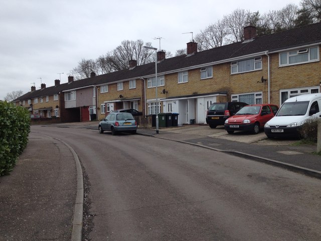
Image: © John Winder Taken: 13 Apr 2015
Following a recent BBC article on Geograph, I've taken the opportunity to upload some frankly rather dull shots of housing estates. ;-) As usual, I was here in a lorry delivering someone's roof, and I took this using the company iPhone during a break from unloading. I don't know where the name comes from, but the old OS map shows this whole area to be farmland and woods, with the intriguing legend "Roman Coins Found" emblazoned across it.
Images are licensed for reuse under creativecommons.org/licenses/by-sa/2.0
Image Location
Latitude
51.766872
Longitude
-0.486767