The landscaped surroundings of the Knockbracken Reservoir
Introduction
The photograph on this page of The landscaped surroundings of the Knockbracken Reservoir by Eric Jones as part of the Geograph project.
The Geograph project started in 2005 with the aim of publishing, organising and preserving representative images for every square kilometre of Great Britain, Ireland and the Isle of Man.

There are currently over 7.5m images from over 14,400 individuals and you can help contribute to the project by visiting https://www.geograph.org.uk
The landscaped surroundings of the Knockbracken Reservoir
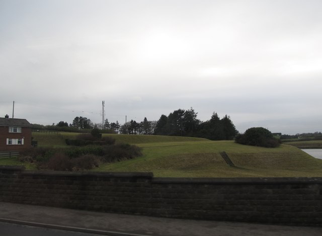
Image: © Eric Jones Taken: 17 Feb 2015
Land surrounding the reservoir has recently been sold for housing developments.
Images are licensed for reuse under creativecommons.org/licenses/by-sa/2.0
Image Location
Latitude
54.526405
Longitude
-5.892264