The Beaumont Centre
Introduction
The photograph on this page of The Beaumont Centre by Ian Calderwood as part of the Geograph project.
The Geograph project started in 2005 with the aim of publishing, organising and preserving representative images for every square kilometre of Great Britain, Ireland and the Isle of Man.

There are currently over 7.5m images from over 14,400 individuals and you can help contribute to the project by visiting https://www.geograph.org.uk
The Beaumont Centre
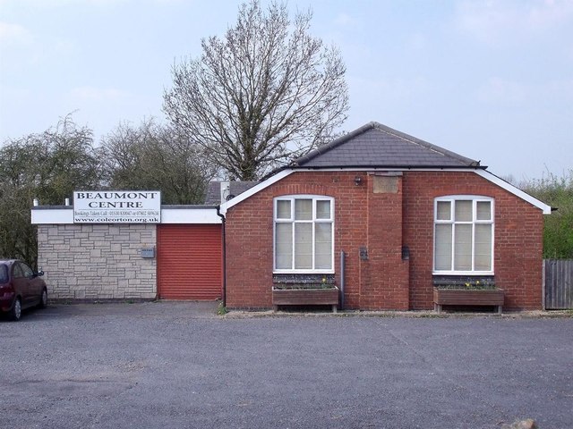
Image: © Ian Calderwood Taken: 9 Apr 2015
The Beaumont Social Centre is now the Coleorton parish hall but was originally the Miners' Welfare Institute. Beaumont was the name of one of the local coal owners. The stone plaque below the roof-line reads "WELFARE INSTITUTE".
Images are licensed for reuse under creativecommons.org/licenses/by-sa/2.0
Image Location
Latitude
52.757311
Longitude
-1.388291