Lyncombe Hill
Introduction
The photograph on this page of Lyncombe Hill by Rude Health as part of the Geograph project.
The Geograph project started in 2005 with the aim of publishing, organising and preserving representative images for every square kilometre of Great Britain, Ireland and the Isle of Man.

There are currently over 7.5m images from over 14,400 individuals and you can help contribute to the project by visiting https://www.geograph.org.uk
Lyncombe Hill
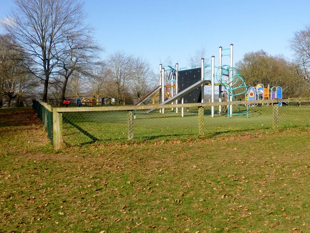
Image: © Rude Health Taken: 26 Mar 2015
Parked on road near entrance to Alexandra Park then I had a walk up to and across the play area. Name: Lyncombe Hill Hill number: 18243 Height: 127m / 417ft Parent (Ma/M): 2891 Beacon Batch Section: 41: South Central England County/UA: Bath and NE Somerset (CoU) Class: Tump (100-199m) Grid ref: ST 75131 63917 Summit feature: no feature: ground near roundabout in playground Drop: 33m Col: 94m ST746633
Images are licensed for reuse under creativecommons.org/licenses/by-sa/2.0
Image Location
Latitude
51.373696
Longitude
-2.358682