Kings Weston Hill
Introduction
The photograph on this page of Kings Weston Hill by Rude Health as part of the Geograph project.
The Geograph project started in 2005 with the aim of publishing, organising and preserving representative images for every square kilometre of Great Britain, Ireland and the Isle of Man.

There are currently over 7.5m images from over 14,400 individuals and you can help contribute to the project by visiting https://www.geograph.org.uk
Kings Weston Hill
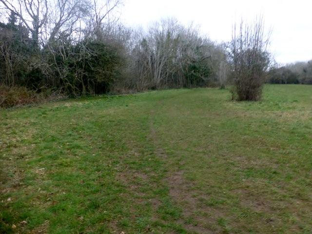
Image: © Rude Health Taken: 26 Mar 2015
Took path through woods from Southside Close. Several possible tops in grassland and in woods, then bagged the lower and well hidden trig point. Name: Kings Weston Hill Hill number: 17446 Height: 97m / 318ft Parent (Ma/M): 2869 Cleeve Hill Section: 39: Central and Eastern England County/UA: Bristol (UA) Class: Tump (0-99m) Grid ref: ST548778 (est) Drop: 57m Col: 40m ST559794
Images are licensed for reuse under creativecommons.org/licenses/by-sa/2.0
Image Location
Latitude
51.497863
Longitude
-2.652379