Madeley
Introduction
The photograph on this page of Madeley by Rude Health as part of the Geograph project.
The Geograph project started in 2005 with the aim of publishing, organising and preserving representative images for every square kilometre of Great Britain, Ireland and the Isle of Man.

There are currently over 7.5m images from over 14,400 individuals and you can help contribute to the project by visiting https://www.geograph.org.uk
Madeley
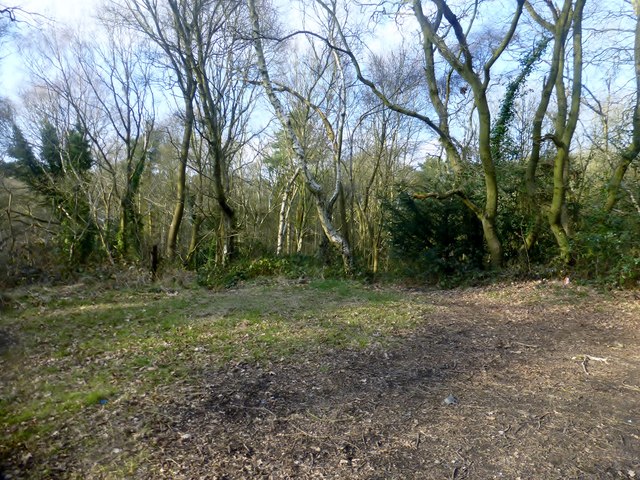
Image: © Rude Health Taken: 25 Mar 2015
Parked near bungalows to west and found track to summit area. A local that I met told me that it was formed from the spoil of a local mine workings. Name: Madeley Hill number: 17194 Height: 162m / 531ft Parent (Ma/M): 2843 The Wrekin Section: 38A: Shropshire County/UA: Telford and Wrekin (UA) Class: Tump (100-199m) Grid ref: SJ 68872 04109 Summit feature: knoll in clearing Drop: 49m Col: 113m SJ688052
Images are licensed for reuse under creativecommons.org/licenses/by-sa/2.0
Image Location
Latitude
52.633832
Longitude
-2.461373