Quarry track, seen from Hebden Royd FP21a
Introduction
The photograph on this page of Quarry track, seen from Hebden Royd FP21a by Humphrey Bolton as part of the Geograph project.
The Geograph project started in 2005 with the aim of publishing, organising and preserving representative images for every square kilometre of Great Britain, Ireland and the Isle of Man.

There are currently over 7.5m images from over 14,400 individuals and you can help contribute to the project by visiting https://www.geograph.org.uk
Quarry track, seen from Hebden Royd FP21a
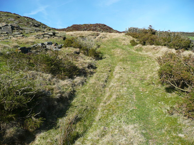
Image: © Humphrey Bolton Taken: 6 Apr 2015
This is not a public footpath, but this is CRoW access land, so you can go up the track from Image] to join FP22 and the Calderdale Way.
Images are licensed for reuse under creativecommons.org/licenses/by-sa/2.0
Image Location
Latitude
53.738481
Longitude
-1.966913