Railway Near Headstone Lane
Introduction
The photograph on this page of Railway Near Headstone Lane by Martin Addison as part of the Geograph project.
The Geograph project started in 2005 with the aim of publishing, organising and preserving representative images for every square kilometre of Great Britain, Ireland and the Isle of Man.

There are currently over 7.5m images from over 14,400 individuals and you can help contribute to the project by visiting https://www.geograph.org.uk
Railway Near Headstone Lane
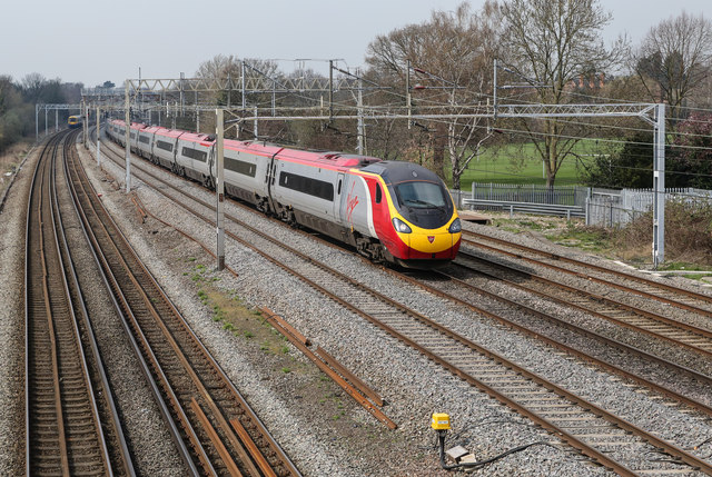
Image: © Martin Addison Taken: 8 Apr 2015
Viewed from the footbridge carrying the path from Chantry Place, a Virgin Pendolino set heads south towards Euston while, in the distance, a London Overground all stations service to Watford Junction can be seen.
Images are licensed for reuse under creativecommons.org/licenses/by-sa/2.0
Image Location
Latitude
51.604309
Longitude
-0.360337