Lower Gratton/Little Hilly Field/Carthouse Field
Introduction
The photograph on this page of Lower Gratton/Little Hilly Field/Carthouse Field by Simon Carey as part of the Geograph project.
The Geograph project started in 2005 with the aim of publishing, organising and preserving representative images for every square kilometre of Great Britain, Ireland and the Isle of Man.

There are currently over 7.5m images from over 14,400 individuals and you can help contribute to the project by visiting https://www.geograph.org.uk
Lower Gratton/Little Hilly Field/Carthouse Field
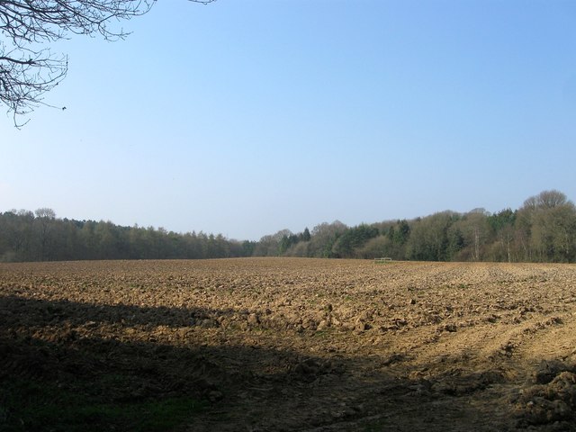
Image: © Simon Carey Taken: 9 Apr 2015
The name of the fields according to Clayton's 1838 tithe map that have been merged to form a larger unit. Lower Gratton was located in the south west corner, Little Hilly Field in south east corner and cart house field occupying much of the northern portion
Images are licensed for reuse under creativecommons.org/licenses/by-sa/2.0
Image Location
Latitude
50.985605
Longitude
-0.131755