Byway to Copse Farm
Introduction
The photograph on this page of Byway to Copse Farm by Martin Addison as part of the Geograph project.
The Geograph project started in 2005 with the aim of publishing, organising and preserving representative images for every square kilometre of Great Britain, Ireland and the Isle of Man.

There are currently over 7.5m images from over 14,400 individuals and you can help contribute to the project by visiting https://www.geograph.org.uk
Byway to Copse Farm
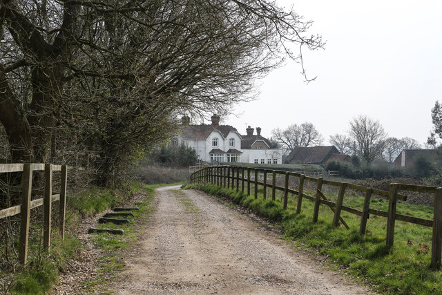
Image: © Martin Addison Taken: 8 Apr 2015
Looking along the public byway that leads from Old Redding to Copse Farm. Beyond the farm the byway becomes a footpath that descends the eastern side of the valley carved by the upper reaches of the River Pinn.
Images are licensed for reuse under creativecommons.org/licenses/by-sa/2.0
Image Location
Latitude
51.619584
Longitude
-0.346641