The Carrigs River near Dundrum
Introduction
The photograph on this page of The Carrigs River near Dundrum by Albert Bridge as part of the Geograph project.
The Geograph project started in 2005 with the aim of publishing, organising and preserving representative images for every square kilometre of Great Britain, Ireland and the Isle of Man.

There are currently over 7.5m images from over 14,400 individuals and you can help contribute to the project by visiting https://www.geograph.org.uk
The Carrigs River near Dundrum
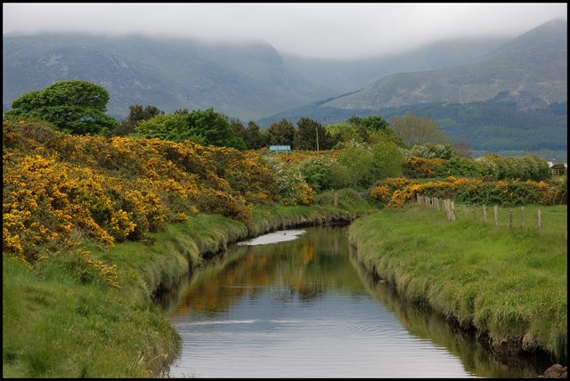
Image: © Albert Bridge Taken: 23 May 2007
The Carrigs River rises as the Leitrim River to the NW of Castlewellan. It is flowing, towards the photographer, into Dundrum Bay. The cloud-capped Mournes can be seen in the background.
Images are licensed for reuse under creativecommons.org/licenses/by-sa/2.0
Image Location


Leaflet Map data © OpenStreetMap
Latitude
54.240388
Longitude
-5.861007