Northern Boundary Route at Downhill
Introduction
The photograph on this page of Northern Boundary Route at Downhill by Malc McDonald as part of the Geograph project.
The Geograph project started in 2005 with the aim of publishing, organising and preserving representative images for every square kilometre of Great Britain, Ireland and the Isle of Man.

There are currently over 7.5m images from over 14,400 individuals and you can help contribute to the project by visiting https://www.geograph.org.uk
Northern Boundary Route at Downhill
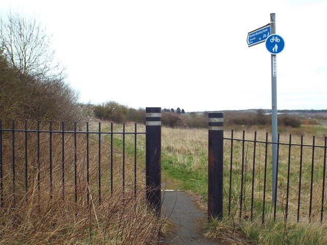
Image: © Malc McDonald Taken: 4 Apr 2015
The Northern Boundary Route forms part of the City of Sunderland's network of walking and cycling paths. As its name suggests, it runs along the City of Sunderland's northern boundary.
Images are licensed for reuse under creativecommons.org/licenses/by-sa/2.0
Image Location
Latitude
54.93388
Longitude
-1.449835