Public bridleway near East Boldon
Introduction
The photograph on this page of Public bridleway near East Boldon by Malc McDonald as part of the Geograph project.
The Geograph project started in 2005 with the aim of publishing, organising and preserving representative images for every square kilometre of Great Britain, Ireland and the Isle of Man.

There are currently over 7.5m images from over 14,400 individuals and you can help contribute to the project by visiting https://www.geograph.org.uk
Public bridleway near East Boldon
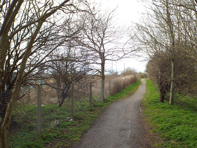
Image: © Malc McDonald Taken: 4 Apr 2015
A public bridleway alongside the railway line, heading away from East Boldon. Further ahead, the bridleway diverges from the railway line, to follow a former railway route to Tyne Dock.
Images are licensed for reuse under creativecommons.org/licenses/by-sa/2.0
Image Location
Latitude
54.95032
Longitude
-1.429313