Burn of Gask
Introduction
The photograph on this page of Burn of Gask by Anne Burgess as part of the Geograph project.
The Geograph project started in 2005 with the aim of publishing, organising and preserving representative images for every square kilometre of Great Britain, Ireland and the Isle of Man.

There are currently over 7.5m images from over 14,400 individuals and you can help contribute to the project by visiting https://www.geograph.org.uk
Burn of Gask
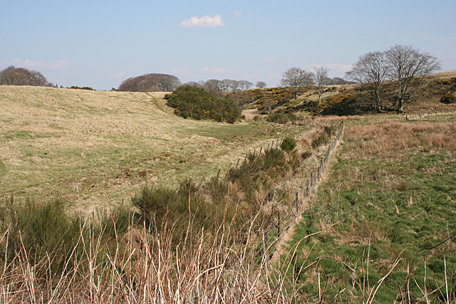
Image: © Anne Burgess Taken: 9 Apr 2015
The burn is clearly too small to have created this wide valley, which is in fact a meltwater channel carved by the melt from a glacier at the end of the last Ice Age some 10,000 years ago.
Images are licensed for reuse under creativecommons.org/licenses/by-sa/2.0
Image Location
Latitude
57.513079
Longitude
-2.480031