Tavern sign
Introduction
The photograph on this page of Tavern sign by Neil Owen as part of the Geograph project.
The Geograph project started in 2005 with the aim of publishing, organising and preserving representative images for every square kilometre of Great Britain, Ireland and the Isle of Man.

There are currently over 7.5m images from over 14,400 individuals and you can help contribute to the project by visiting https://www.geograph.org.uk
Tavern sign
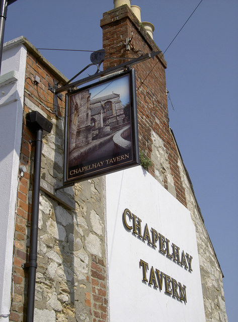
Image: © Neil Owen Taken: 8 Apr 2015
This pub sign in Weymouth gives a clue as to the area's history. In times gone by, there was a church dedicated to St Nicholas near here; it saw action during the Civil War but was soon demolished. See Image] for a wider view of the pub or Image] for a benchmark.
Images are licensed for reuse under creativecommons.org/licenses/by-sa/2.0
Image Location


Leaflet Map data © OpenStreetMap
Latitude
50.605954
Longitude
-2.455828