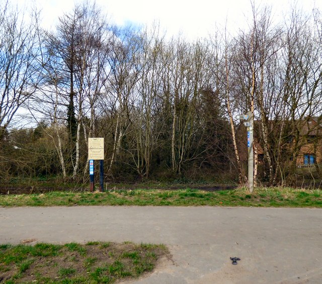
Green Lane footpath junction
Introduction
The photograph on this page of Green Lane footpath junction by Gerald England as part of the Geograph project.
The Geograph project started in 2005 with the aim of publishing, organising and preserving representative images for every square kilometre of Great Britain, Ireland and the Isle of Man.
There are currently over 7.5m images from over 14,400 individuals and you can help contribute to the project by visiting https://www.geograph.org.uk

Image: © Gerald England Taken: 7 Apr 2015
After passing under Green Lane bridge the Trans Pennine Trail leaves the route of the former Apethorn to Godley railway line to follow Green Lane via the path behind the photographer. The wooden finger post on the right points out the route. It has been foreshortened since 2007 Image A pair of notices on the left give information about the trail and carry a warning about the use of unauthorised motor vehicles. A footpath to the right continues to follow the old railway track for about another mile past an old turntable pit and over Brookfold Lane until it is blocked off just before the junction with the main railway line at Godley.

