Craigdoo Road
Introduction
The photograph on this page of Craigdoo Road by Robert Ashby as part of the Geograph project.
The Geograph project started in 2005 with the aim of publishing, organising and preserving representative images for every square kilometre of Great Britain, Ireland and the Isle of Man.

There are currently over 7.5m images from over 14,400 individuals and you can help contribute to the project by visiting https://www.geograph.org.uk
Craigdoo Road
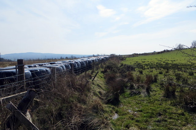
Image: © Robert Ashby Taken: 8 Apr 2015
Bales of silage lined up in two neat rows.
Images are licensed for reuse under creativecommons.org/licenses/by-sa/2.0
Image Location
Latitude
54.838424
Longitude
-6.185022