St Augustine's Way, Haywards Heath
Introduction
The photograph on this page of St Augustine's Way, Haywards Heath by Simon Carey as part of the Geograph project.
The Geograph project started in 2005 with the aim of publishing, organising and preserving representative images for every square kilometre of Great Britain, Ireland and the Isle of Man.

There are currently over 7.5m images from over 14,400 individuals and you can help contribute to the project by visiting https://www.geograph.org.uk
St Augustine's Way, Haywards Heath
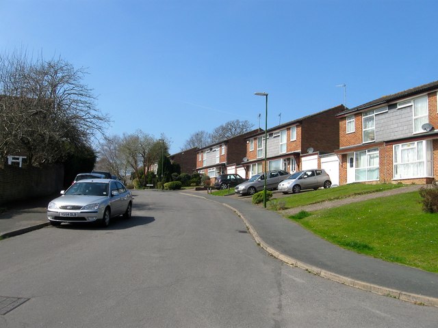
Image: © Simon Carey Taken: 7 Apr 2015
Residential road running between Priory Way and Syresham Gardens that was developed in the late 1970s in the grounds of the former Priory of Our Lady.
Images are licensed for reuse under creativecommons.org/licenses/by-sa/2.0
Image Location
Latitude
50.996845
Longitude
-0.098241