Louth former tip and landfill site: aerial 2015
Introduction
The photograph on this page of Louth former tip and landfill site: aerial 2015 by Chris as part of the Geograph project.
The Geograph project started in 2005 with the aim of publishing, organising and preserving representative images for every square kilometre of Great Britain, Ireland and the Isle of Man.

There are currently over 7.5m images from over 14,400 individuals and you can help contribute to the project by visiting https://www.geograph.org.uk
Louth former tip and landfill site: aerial 2015
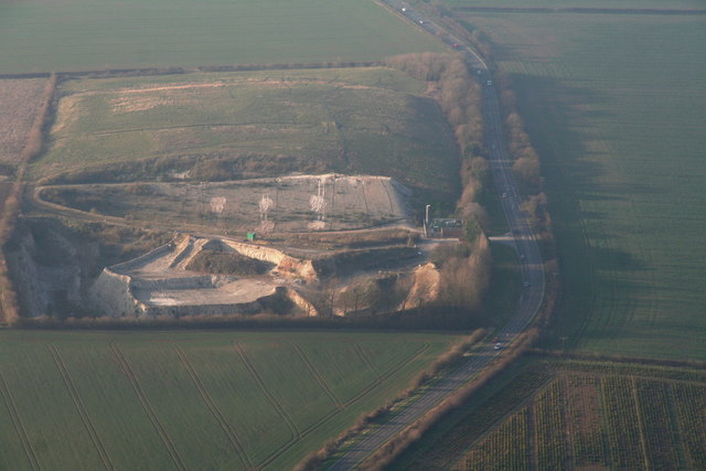
Image: © Chris Taken: 5 Apr 2015
There seems to have been a lot of "re-profiling" here - see 2001 shot Image Could they be going to turn it into a nature park?
Images are licensed for reuse under creativecommons.org/licenses/by-sa/2.0
Image Location


Leaflet Map data © OpenStreetMap
Latitude
53.335271
Longitude
0.008227