Nidd at Scotton Mill
Introduction
The photograph on this page of Nidd at Scotton Mill by Derek Harper as part of the Geograph project.
The Geograph project started in 2005 with the aim of publishing, organising and preserving representative images for every square kilometre of Great Britain, Ireland and the Isle of Man.

There are currently over 7.5m images from over 14,400 individuals and you can help contribute to the project by visiting https://www.geograph.org.uk
Nidd at Scotton Mill
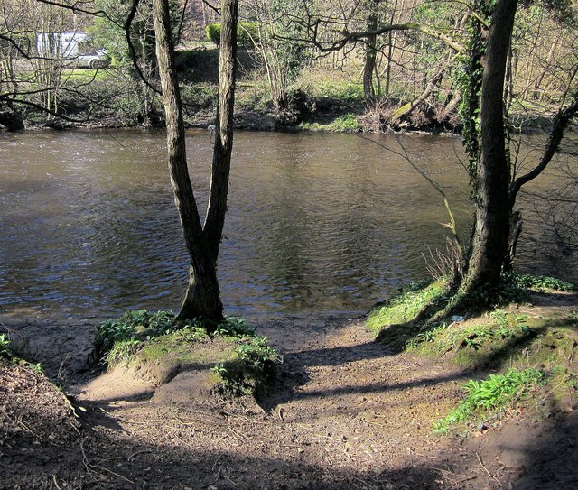
Image: © Derek Harper Taken: 5 Apr 2015
This looks like the southern end of the ford that carries bridleway 15 54/5/2 across the river, where it briefly becomes bridleway 15 16/10/1 and then 15 115/10/1 as it passes from the parish of Brearton to Scotton. The other side of the ford appears to be a little downstream. Is it fordable on foot?
Images are licensed for reuse under creativecommons.org/licenses/by-sa/2.0
Image Location
Latitude
54.022347
Longitude
-1.518556