Junction on Warren Lane
Introduction
The photograph on this page of Junction on Warren Lane by Martin Addison as part of the Geograph project.
The Geograph project started in 2005 with the aim of publishing, organising and preserving representative images for every square kilometre of Great Britain, Ireland and the Isle of Man.

There are currently over 7.5m images from over 14,400 individuals and you can help contribute to the project by visiting https://www.geograph.org.uk
Junction on Warren Lane
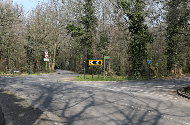
Image: © Martin Addison Taken: 8 Apr 2015
On a sharp bend in Warren Lane two side roads diverge. On the right is Public Byway No.6 which leads to Grove Farm. On the left is The Grove which leads to a modern housing estate beside Stamnore Common.
Images are licensed for reuse under creativecommons.org/licenses/by-sa/2.0
Image Location
Latitude
51.628801
Longitude
-0.318132