New England Road, Haywards Heath
Introduction
The photograph on this page of New England Road, Haywards Heath by Simon Carey as part of the Geograph project.
The Geograph project started in 2005 with the aim of publishing, organising and preserving representative images for every square kilometre of Great Britain, Ireland and the Isle of Man.

There are currently over 7.5m images from over 14,400 individuals and you can help contribute to the project by visiting https://www.geograph.org.uk
New England Road, Haywards Heath
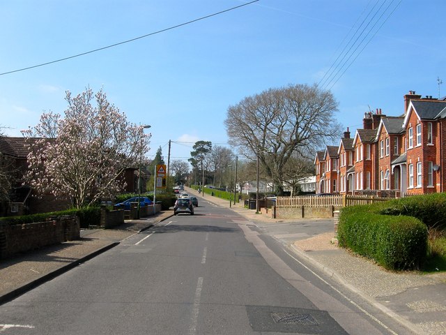
Image: © Simon Carey Taken: 7 Apr 2015
The current road runs from Hazelgrove road to the eastern junction with Bentswood Road where it becomes America Lane. Prior to the 18890s it was little more than a track which would be straightened and gradually developed, the houses on the right were built during the Edwardian period and larger than some of the victorian cottages further east. Beyond them is Warden Park Primary Academy.
Images are licensed for reuse under creativecommons.org/licenses/by-sa/2.0
Image Location
Latitude
50.999613
Longitude
-0.096987