Bentswood Road, Haywards Heath
Introduction
The photograph on this page of Bentswood Road, Haywards Heath by Simon Carey as part of the Geograph project.
The Geograph project started in 2005 with the aim of publishing, organising and preserving representative images for every square kilometre of Great Britain, Ireland and the Isle of Man.

There are currently over 7.5m images from over 14,400 individuals and you can help contribute to the project by visiting https://www.geograph.org.uk
Bentswood Road, Haywards Heath
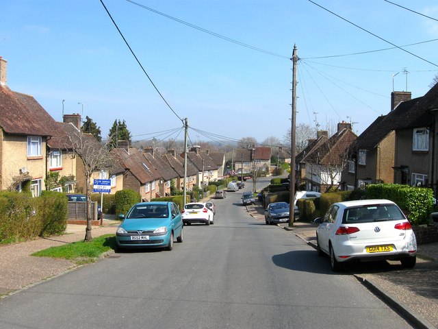
Image: © Simon Carey Taken: 7 Apr 2015
The road runs in a circular fashion from New England Road and back again further east to the point where it changes to America Lane. This section looks down towards the junction with Little Bentswood and Bentswood Crescent. The Bentswood estate was begun by the local council in the mid 1920s and largely completed by the mid 1930s with a couple editions after the war. Named after the wood it was built on.
Images are licensed for reuse under creativecommons.org/licenses/by-sa/2.0
Image Location
Latitude
51.001802
Longitude
-0.093335