Lucas's. Lucastes Avenue, Haywards Heath
Introduction
The photograph on this page of Lucas's. Lucastes Avenue, Haywards Heath by Simon Carey as part of the Geograph project.
The Geograph project started in 2005 with the aim of publishing, organising and preserving representative images for every square kilometre of Great Britain, Ireland and the Isle of Man.

There are currently over 7.5m images from over 14,400 individuals and you can help contribute to the project by visiting https://www.geograph.org.uk
Lucas's. Lucastes Avenue, Haywards Heath
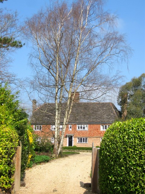
Image: © Simon Carey Taken: 7 Apr 2015
A 16th century farmhouse that predates the town and is now surrounded by estates built on its former fields. The house is marked on a 1638 estate map.
Images are licensed for reuse under creativecommons.org/licenses/by-sa/2.0
Image Location
Latitude
51.004165
Longitude
-0.111482