East End of London from the air
Introduction
The photograph on this page of East End of London from the air by Thomas Nugent as part of the Geograph project.
The Geograph project started in 2005 with the aim of publishing, organising and preserving representative images for every square kilometre of Great Britain, Ireland and the Isle of Man.

There are currently over 7.5m images from over 14,400 individuals and you can help contribute to the project by visiting https://www.geograph.org.uk
East End of London from the air
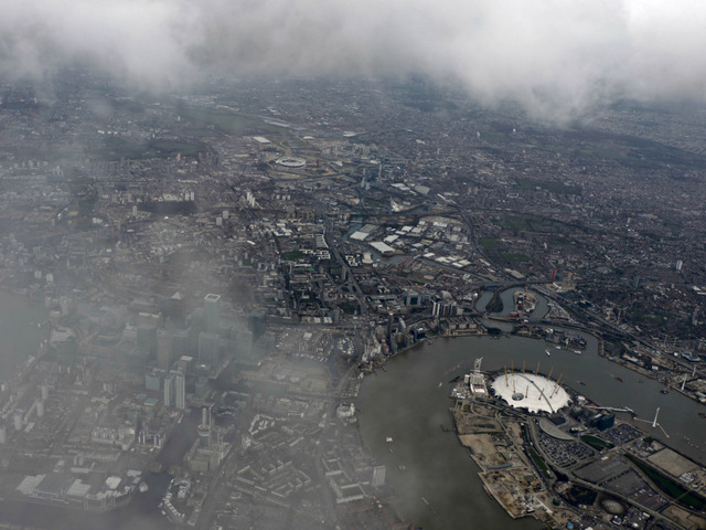
Image: © Thomas Nugent Taken: 1 Apr 2015
Looking down Blackwall Reach between the Isle of Dogs and Greenwich from a Heathrow bound flight from Prague. The River Lea and the 2012 Olympics site can also be seen.
Images are licensed for reuse under creativecommons.org/licenses/by-sa/2.0
Image Location
Latitude
51.506467
Longitude
-0.005767