Old Rectory, Ockley
Introduction
The photograph on this page of Old Rectory, Ockley by Stephen Richards as part of the Geograph project.
The Geograph project started in 2005 with the aim of publishing, organising and preserving representative images for every square kilometre of Great Britain, Ireland and the Isle of Man.

There are currently over 7.5m images from over 14,400 individuals and you can help contribute to the project by visiting https://www.geograph.org.uk
Old Rectory, Ockley
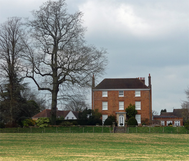
Image: © Stephen Richards Taken: 6 Apr 2015
Late C18th or early C19th house in three bays and storeys. Grade II listed.
Images are licensed for reuse under creativecommons.org/licenses/by-sa/2.0
Image Location
Latitude
51.141893
Longitude
-0.365051