Path to Norfolk Crescent
Introduction
The photograph on this page of Path to Norfolk Crescent by Stephen Craven as part of the Geograph project.
The Geograph project started in 2005 with the aim of publishing, organising and preserving representative images for every square kilometre of Great Britain, Ireland and the Isle of Man.

There are currently over 7.5m images from over 14,400 individuals and you can help contribute to the project by visiting https://www.geograph.org.uk
Path to Norfolk Crescent
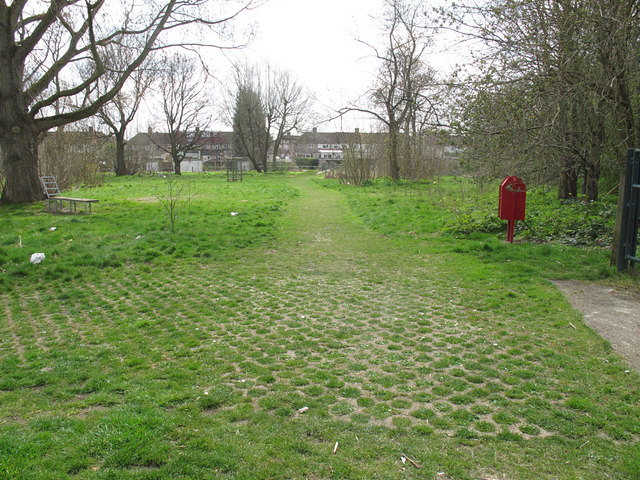
Image: © Stephen Craven Taken: 6 Apr 2015
The photographer position is on the Greenwich/Bexley borough border. This is the view looking into Bexley. The footpath appears to be surfaced with "grasscrete", presumably to prevent it becoming too muddy. Shortly before the houses on Norfolk Crescent in the background the path crosses the minor river Shuttle.
Images are licensed for reuse under creativecommons.org/licenses/by-sa/2.0
Image Location
Latitude
51.446296
Longitude
0.087744