Pasture at Brooks Green
Introduction
The photograph on this page of Pasture at Brooks Green by Evelyn Simak as part of the Geograph project.
The Geograph project started in 2005 with the aim of publishing, organising and preserving representative images for every square kilometre of Great Britain, Ireland and the Isle of Man.

There are currently over 7.5m images from over 14,400 individuals and you can help contribute to the project by visiting https://www.geograph.org.uk
Pasture at Brooks Green
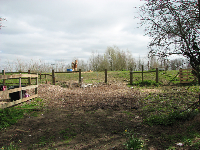
Image: © Evelyn Simak Taken: 6 Apr 2015
Brooks Green (formerly known as Harford) was opened in 2009. The site > http://www.geograph.org.uk/photo/4416417 which is leased from a private land owner, accommodates 8 Traveller families and is managed by the Broadland Housing Association. Situated near to the Harford Park & Ride car park, at the southern end of the northern section of a rural lane called Mangreen, it comprises eight pitches, each consisting of a living area and a hard standing suitable for up to three or four caravans with separate car parking spaces for each unit. There is also a secure site compound > http://www.geograph.org.uk/photo/4416422 which can be used for communal or other activities.
Images are licensed for reuse under creativecommons.org/licenses/by-sa/2.0
Image Location
Latitude
52.587372
Longitude
1.268973