Fairy Hill
Introduction
The photograph on this page of Fairy Hill by Rude Health as part of the Geograph project.
The Geograph project started in 2005 with the aim of publishing, organising and preserving representative images for every square kilometre of Great Britain, Ireland and the Isle of Man.

There are currently over 7.5m images from over 14,400 individuals and you can help contribute to the project by visiting https://www.geograph.org.uk
Fairy Hill
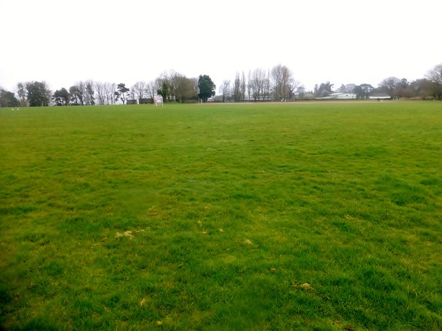
Image: © Rude Health Taken: 29 Mar 2015
Parked near the cemetery in Crewkerne then used footpaths to access Bincombe Beeches Nature Reserve and the flat grassy summit with wide views. Bagged with Alex and Smudge. Name: Fairy Hill Hill number: 18276 Height: 109m / 358ft Parent (Ma/M): 2896 Lewesdon Hill Section: 41: South Central England County/UA: Somerset (CoU) Class: Tump (100-199m) Grid ref: ST442100 (est) Drop: 33m Col: 76m ST440099
Images are licensed for reuse under creativecommons.org/licenses/by-sa/2.0
Image Location
Latitude
50.887596
Longitude
-2.793516