Benchmark in Horsford Street
Introduction
The photograph on this page of Benchmark in Horsford Street by Neil Owen as part of the Geograph project.
The Geograph project started in 2005 with the aim of publishing, organising and preserving representative images for every square kilometre of Great Britain, Ireland and the Isle of Man.

There are currently over 7.5m images from over 14,400 individuals and you can help contribute to the project by visiting https://www.geograph.org.uk
Benchmark in Horsford Street
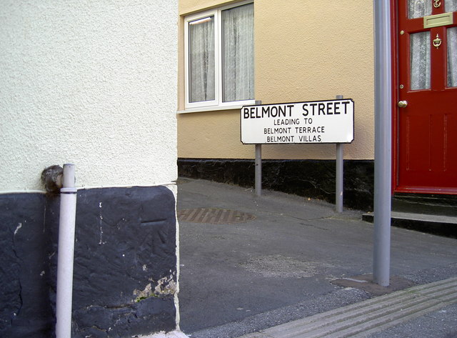
Image: © Neil Owen Taken: 28 Aug 2011
Close to the pedestrianised Belmont Terrace is this benchmark. See http://www.bench-marks.org.uk/bm35638 for the entry in the Benchmark Database.
Images are licensed for reuse under creativecommons.org/licenses/by-sa/2.0
Image Location
Latitude
50.604711
Longitude
-2.451718