Approaching the village of Saul along St Patrick's Road
Introduction
The photograph on this page of Approaching the village of Saul along St Patrick's Road by Eric Jones as part of the Geograph project.
The Geograph project started in 2005 with the aim of publishing, organising and preserving representative images for every square kilometre of Great Britain, Ireland and the Isle of Man.

There are currently over 7.5m images from over 14,400 individuals and you can help contribute to the project by visiting https://www.geograph.org.uk
Approaching the village of Saul along St Patrick's Road
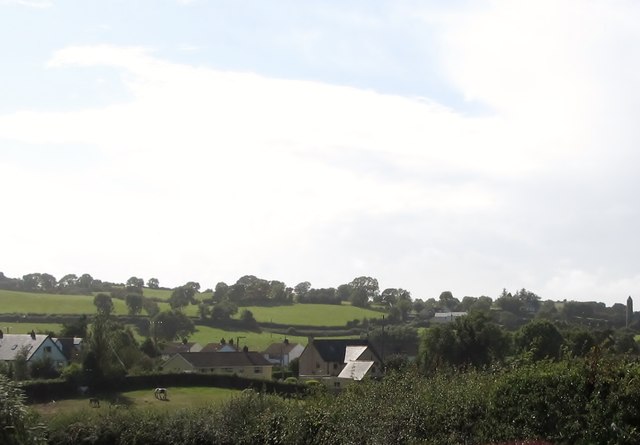
Image: © Eric Jones Taken: 28 Aug 2014
The round tower of St Patrick's CoI church can be seen on the extreme right of the skyline.
Images are licensed for reuse under creativecommons.org/licenses/by-sa/2.0
Image Location
Latitude
54.343643
Longitude
-5.672321