Annaghgad Road, Drumboy
Introduction
The photograph on this page of Annaghgad Road, Drumboy by Dean Molyneaux as part of the Geograph project.
The Geograph project started in 2005 with the aim of publishing, organising and preserving representative images for every square kilometre of Great Britain, Ireland and the Isle of Man.

There are currently over 7.5m images from over 14,400 individuals and you can help contribute to the project by visiting https://www.geograph.org.uk
Annaghgad Road, Drumboy
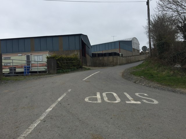
Image: © Dean Molyneaux Taken: 5 Apr 2015
Located to the south of the village of Cullaville, Drumboy is the southernmost townland in County Armagh and it borders County Monaghan in the Republic of Ireland.
Images are licensed for reuse under creativecommons.org/licenses/by-sa/2.0
Image Location
Latitude
54.042948
Longitude
-6.620772