Roxholm cemetery
Introduction
The photograph on this page of Roxholm cemetery by Richard Croft as part of the Geograph project.
The Geograph project started in 2005 with the aim of publishing, organising and preserving representative images for every square kilometre of Great Britain, Ireland and the Isle of Man.

There are currently over 7.5m images from over 14,400 individuals and you can help contribute to the project by visiting https://www.geograph.org.uk
Roxholm cemetery
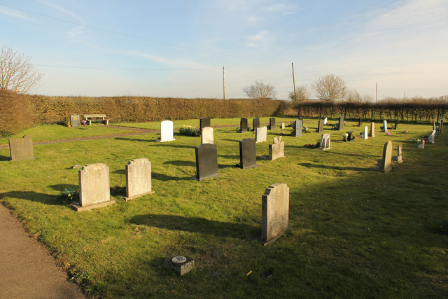
Image: © Richard Croft Taken: 2 Apr 2015
Cemetery by the former Roxholm Chapel, the chapel opened in 1871, closed in 2005 and is now a private house.
Images are licensed for reuse under creativecommons.org/licenses/by-sa/2.0
Image Location
Latitude
53.037584
Longitude
-0.419985