Entrance to Hopcrafts & Turweston Hill Farms
Introduction
The photograph on this page of Entrance to Hopcrafts & Turweston Hill Farms by Snidge as part of the Geograph project.
The Geograph project started in 2005 with the aim of publishing, organising and preserving representative images for every square kilometre of Great Britain, Ireland and the Isle of Man.

There are currently over 7.5m images from over 14,400 individuals and you can help contribute to the project by visiting https://www.geograph.org.uk
Entrance to Hopcrafts & Turweston Hill Farms
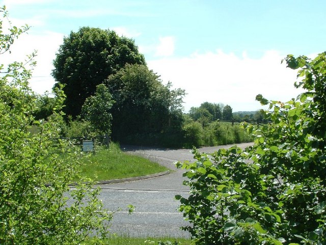
Image: © Snidge Taken: 22 May 2007
Entrance to Hopcrafts & Turweston Hill Farms taken from the disused part of the A422 (With the replacement road in the foreground)
Images are licensed for reuse under creativecommons.org/licenses/by-sa/2.0
Image Location
Latitude
52.025326
Longitude
-1.130587