Ginhall Lane
Introduction
The photograph on this page of Ginhall Lane by Richard Webb as part of the Geograph project.
The Geograph project started in 2005 with the aim of publishing, organising and preserving representative images for every square kilometre of Great Britain, Ireland and the Isle of Man.

There are currently over 7.5m images from over 14,400 individuals and you can help contribute to the project by visiting https://www.geograph.org.uk
Ginhall Lane
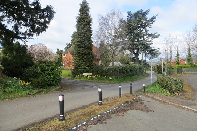
Image: © Richard Webb Taken: 4 Apr 2015
The junction with Green Lane has not been blocked off but the right turn is forbidden, presumably to stop dodging the traffic lights on the Cursneh Road/Bargates junction. Bikes are allowed though - note the gap.
Images are licensed for reuse under creativecommons.org/licenses/by-sa/2.0
Image Location
Latitude
52.22762
Longitude
-2.750724