Queens Road, Haywards Heath
Introduction
The photograph on this page of Queens Road, Haywards Heath by Simon Carey as part of the Geograph project.
The Geograph project started in 2005 with the aim of publishing, organising and preserving representative images for every square kilometre of Great Britain, Ireland and the Isle of Man.

There are currently over 7.5m images from over 14,400 individuals and you can help contribute to the project by visiting https://www.geograph.org.uk
Queens Road, Haywards Heath
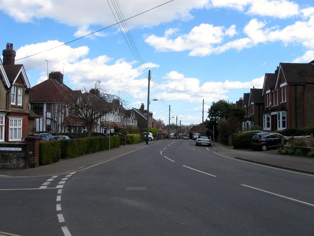
Image: © Simon Carey Taken: 31 Mar 2015
Built in the late 1880s after the destruction of a brewery on Mill Green Road allowed access at the western end and the break up of Southlands Farm freed the land for housing development. The current road runs from Mill Green Road to Oathall Road.
Images are licensed for reuse under creativecommons.org/licenses/by-sa/2.0
Image Location
Latitude
51.006792
Longitude
-0.10154