Footpath, Ashenground Park
Introduction
The photograph on this page of Footpath, Ashenground Park by Simon Carey as part of the Geograph project.
The Geograph project started in 2005 with the aim of publishing, organising and preserving representative images for every square kilometre of Great Britain, Ireland and the Isle of Man.

There are currently over 7.5m images from over 14,400 individuals and you can help contribute to the project by visiting https://www.geograph.org.uk
Footpath, Ashenground Park
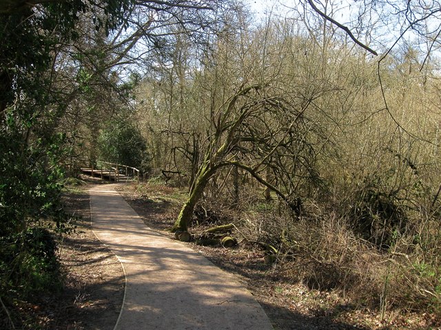
Image: © Simon Carey Taken: 31 Mar 2015
Heading north from Ashenground Bridge to connect to the last phase of the Bolnore village development which is currently under construction. The small section of land located on spoil from the nearby railway cutting on the left and a small stream to the right was once a small field called Chatfields Lag according to Cuckfield's 1843 tithe map. The field has long been left to nature and can barely be made out.
Images are licensed for reuse under creativecommons.org/licenses/by-sa/2.0
Image Location
Latitude
50.992288
Longitude
-0.11111