Watson Avenue
Introduction
The photograph on this page of Watson Avenue by Ian Capper as part of the Geograph project.
The Geograph project started in 2005 with the aim of publishing, organising and preserving representative images for every square kilometre of Great Britain, Ireland and the Isle of Man.

There are currently over 7.5m images from over 14,400 individuals and you can help contribute to the project by visiting https://www.geograph.org.uk
Watson Avenue
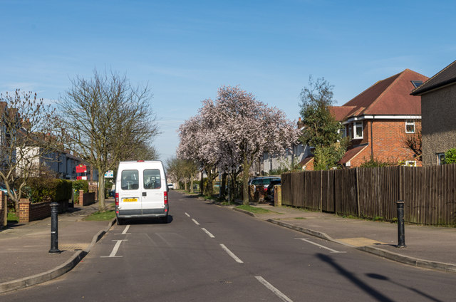
Image: © Ian Capper Taken: 15 Mar 2014
Mainly 1930s housing between Sandridge Road and Beech Road.
Images are licensed for reuse under creativecommons.org/licenses/by-sa/2.0
Image Location
Latitude
51.763711
Longitude
-0.327759