Dairy House Lane, Woodford
Introduction
The photograph on this page of Dairy House Lane, Woodford by David Dixon as part of the Geograph project.
The Geograph project started in 2005 with the aim of publishing, organising and preserving representative images for every square kilometre of Great Britain, Ireland and the Isle of Man.

There are currently over 7.5m images from over 14,400 individuals and you can help contribute to the project by visiting https://www.geograph.org.uk
Dairy House Lane, Woodford
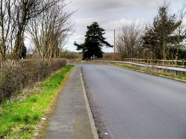
Image: © David Dixon Taken: 2 Apr 2015
Lane leading to government offices and the Total Fitness gymnasium.
Images are licensed for reuse under creativecommons.org/licenses/by-sa/2.0
Image Location
Latitude
53.351483
Longitude
-2.18534