Location, location?
Introduction
The photograph on this page of Location, location? by Robert Ashby as part of the Geograph project.
The Geograph project started in 2005 with the aim of publishing, organising and preserving representative images for every square kilometre of Great Britain, Ireland and the Isle of Man.

There are currently over 7.5m images from over 14,400 individuals and you can help contribute to the project by visiting https://www.geograph.org.uk
Location, location?
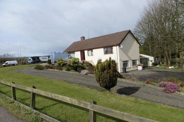
Image: © Robert Ashby Taken: 1 Apr 2015
I don't know when this house was built - it looks fairly modern - but it must have been sometime in the pre motorway era i.e mid-sixties when construction of the M2 was started. Junction 4 (Sandyknowes) at this location was opened in 1975. With the nearby Sandyknowes roundabout, the M2, and the A26 at one end, the A8 (semi) motorway to Corr's Corner and Larne going past their back door and the busy B90 carrying lots of local traffic to the M2 passing their front garden who would buy a house in this location today?
Images are licensed for reuse under creativecommons.org/licenses/by-sa/2.0
Image Location
Latitude
54.679809
Longitude
-5.978286